Map Analysis Service

Uncover the Secrets of Historical Cartography
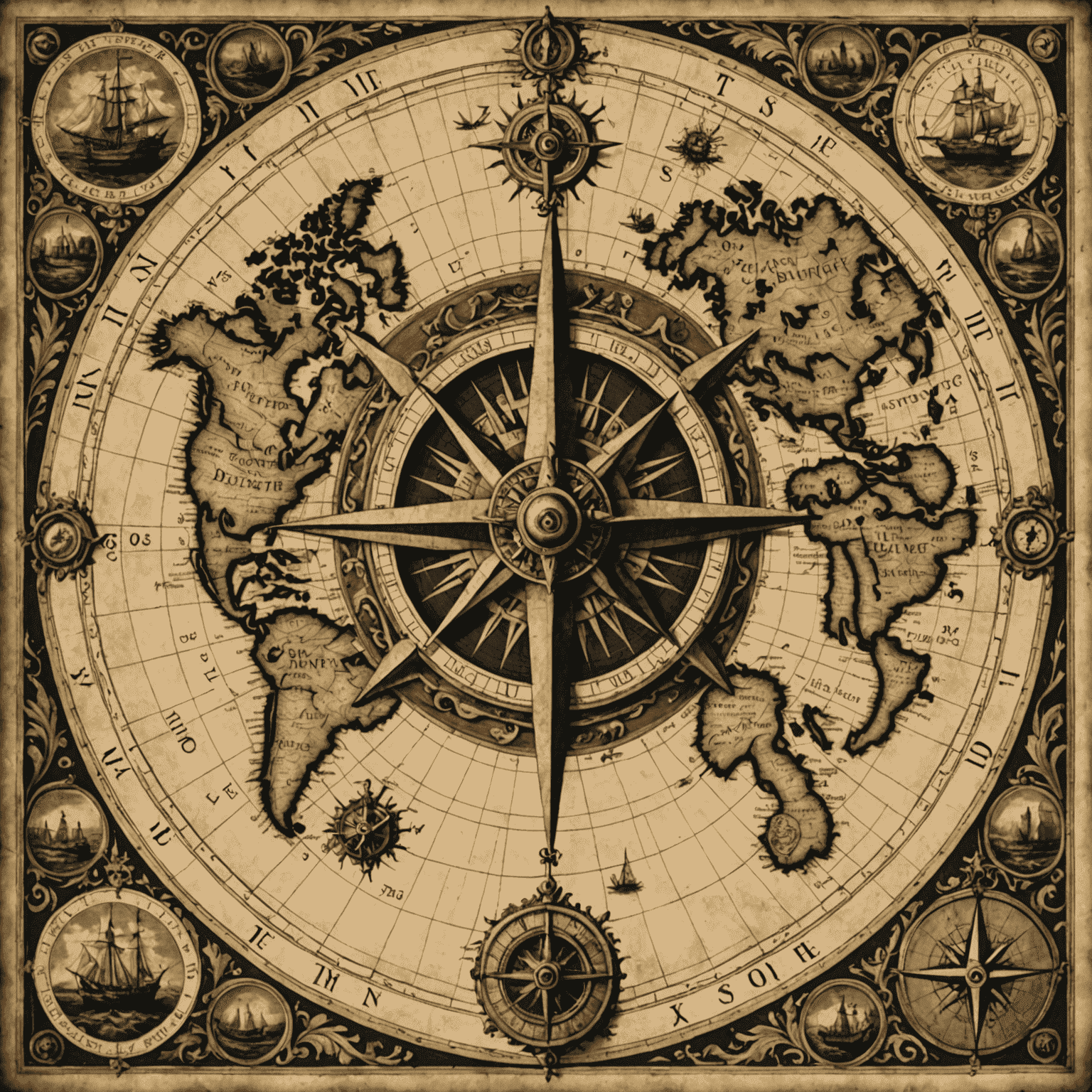
Our expert Map Analysis service offers an in-depth exploration of historical maps, providing valuable insights into the cartographic techniques and geographical perceptions of different periods. From ancient world maps to Renaissance portolan charts, we delve into the intricate details that shaped our understanding of the world.
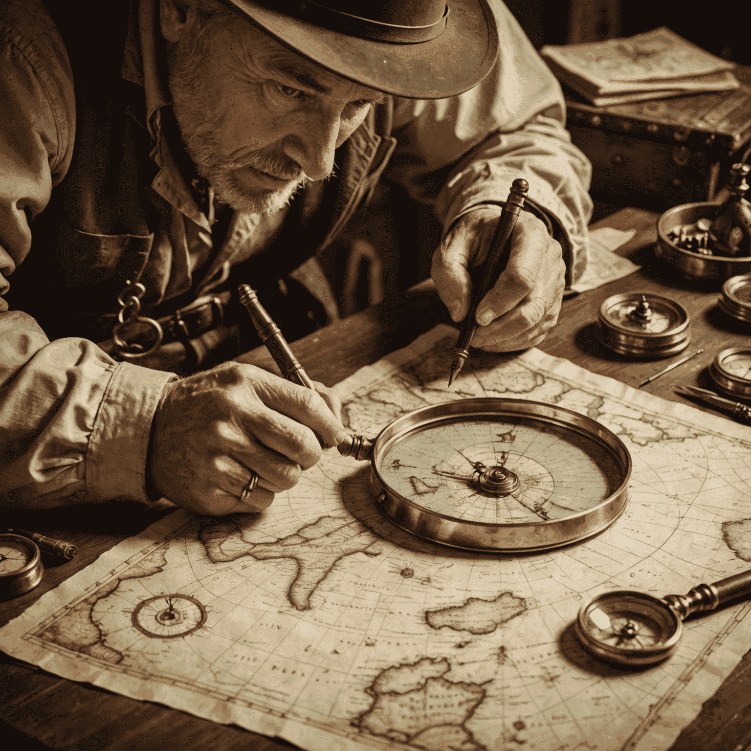
Our team of seasoned historians and cartographers employs cutting-edge technology alongside traditional analytical methods to unravel the stories hidden within these cartographic treasures.
Technique Analysis
We examine the methods used in creating historical maps, from projection systems to artistic embellishments, revealing the evolution of cartographic practices.
Cultural Context
Our analysis places each map within its historical and cultural context, offering insights into the societal influences that shaped geographical understanding.
Accuracy Assessment
We evaluate the precision of historical maps against modern knowledge, highlighting both remarkable accuracies and intriguing discrepancies.
"Maps are a window into the past, revealing not just the geography of bygone eras, but the dreams, fears, and aspirations of those who created them."
Our Process
- Initial consultation to understand your specific map analysis needs
- Thorough examination of the map's physical and digital properties
- Historical research to establish context and significance
- Detailed analysis of cartographic techniques and symbolism
- Comparison with contemporary maps and modern geographical data
- Comprehensive report delivery with our expert findings

Why Choose Our Map Analysis Service?
- Expert team with decades of combined experience in cartography and history
- State-of-the-art digital analysis tools combined with traditional expertise
- Comprehensive reports suitable for academic, commercial, or personal use
- Insights into geographical discoveries and changing borders throughout history
- Preservation advice for valuable historical maps
Embark on a journey through time and space with our Map Analysis service. Uncover the stories behind the lines, legends, and illustrations that have shaped our understanding of the world for centuries.