Welcome to Century Mapping
Embark on a journey through time and space as we explore the fascinating world of historical cartography and its profound impact on our understanding of the world.
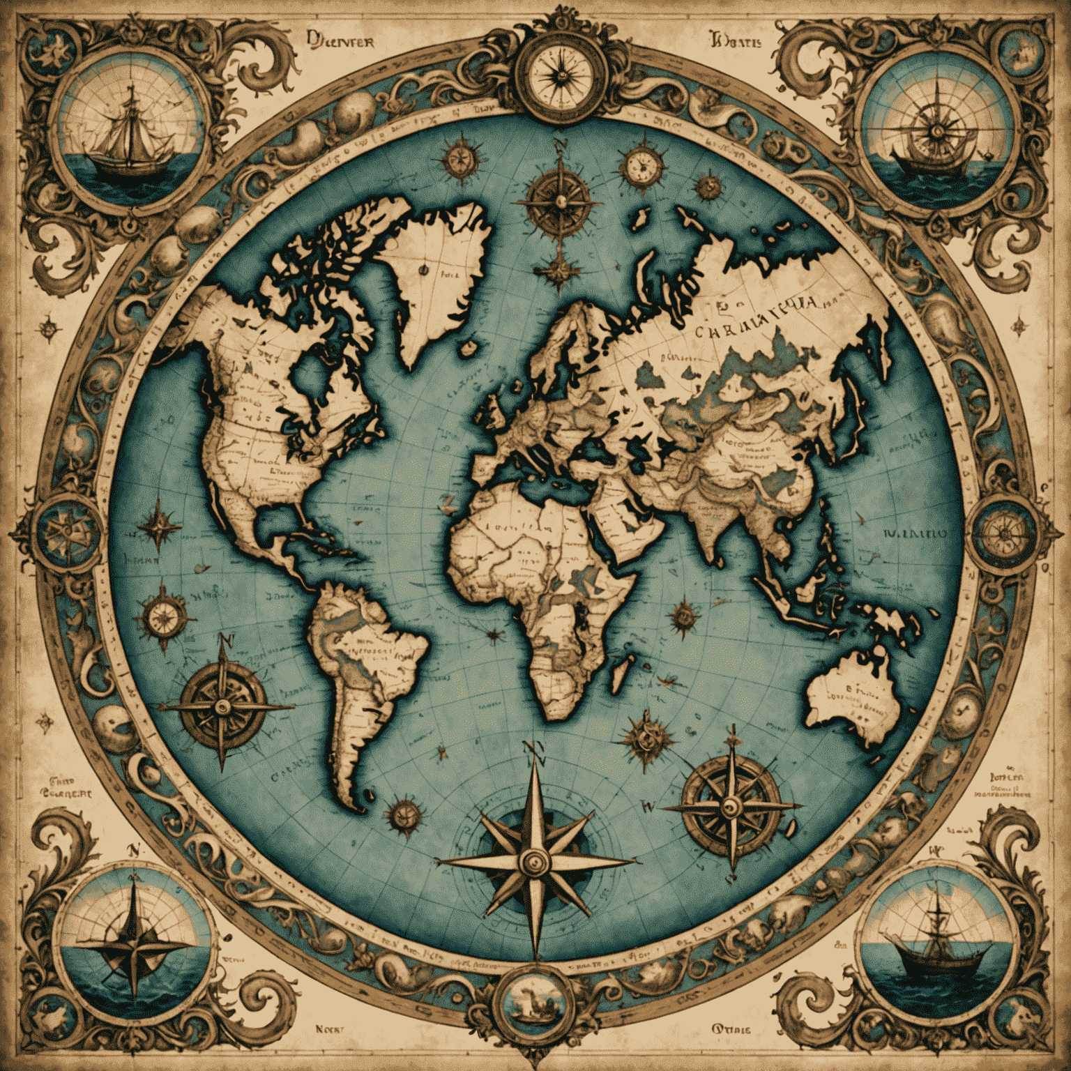
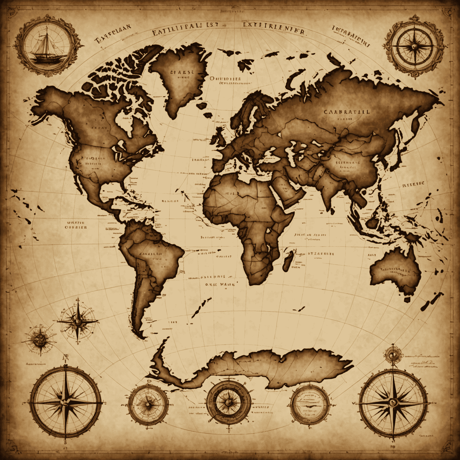
Unveiling the Past Through Maps
At Century Mapping, we delve into the intricate details of historical maps, from ancient civilizations to the Age of Exploration and beyond. Our curated collection showcases how cartography has evolved, reflecting the changing perceptions of our world throughout the centuries.
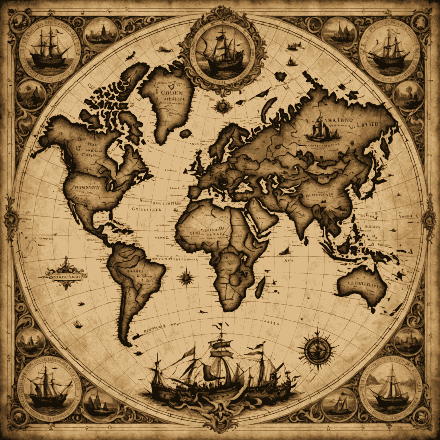
Stories of Discovery and Exploration
Immerse yourself in tales of intrepid explorers who ventured into uncharted territories, redrawing the maps of their time. From Marco Polo's travels along the Silk Road to James Cook's Pacific voyages, we bring these historical journeys to life through the maps they created and used.
The Evolution of Borders and Territories
Witness the ebb and flow of empires, the birth of nations, and the redrawing of boundaries through our analysis of historical maps. Our experts provide insights into how political, cultural, and geographical factors have shaped the world map we know today.
Latest News in Cartography
Ancient Map Discoveries
Recent findings of ancient maps that shed new light on early civilizations' understanding of geography.
Read More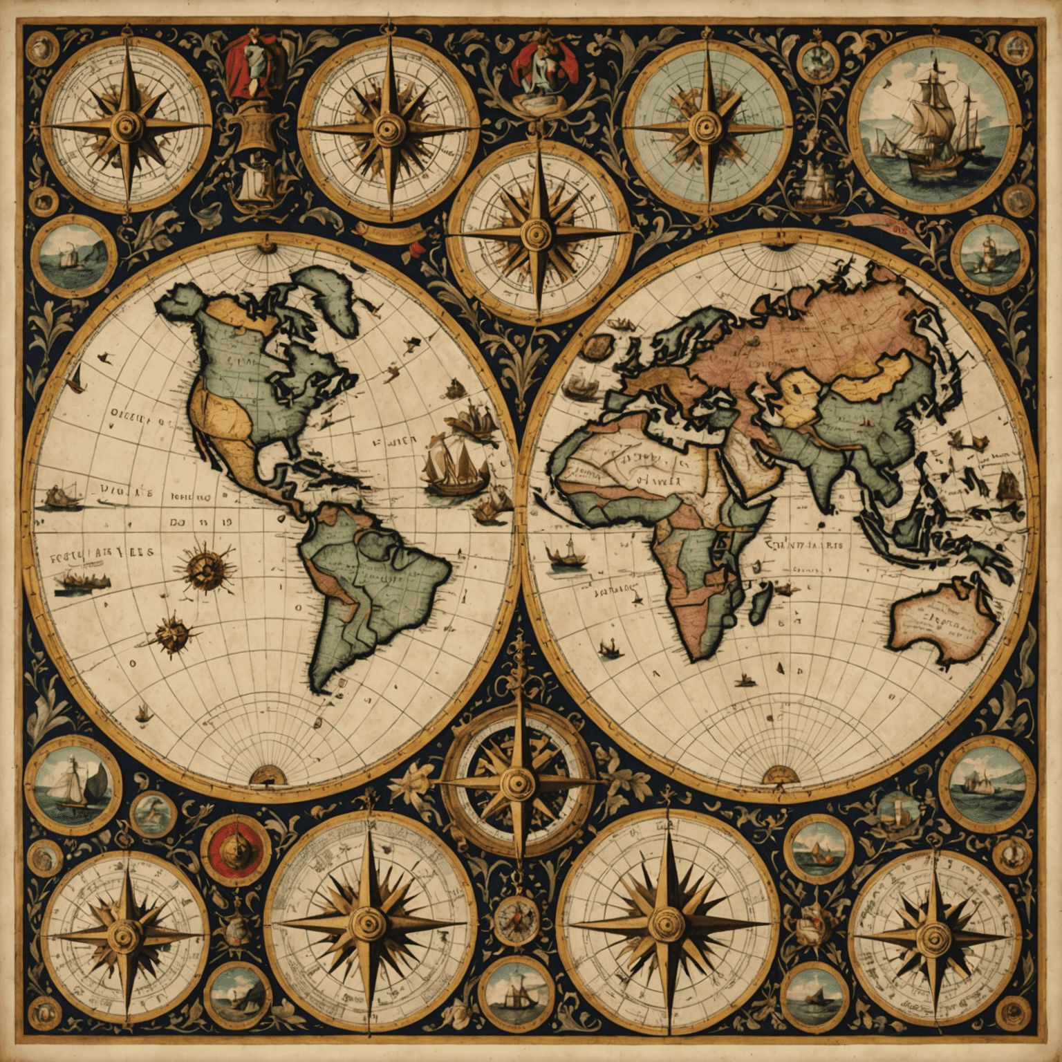
Cartography in the Age of Exploration
How maps evolved during the 15th-17th centuries and their role in shaping global exploration.
Read More
Digital Mapping Revolution
The impact of technology on modern cartography and how it's changing our interaction with maps.
Read More